(b)
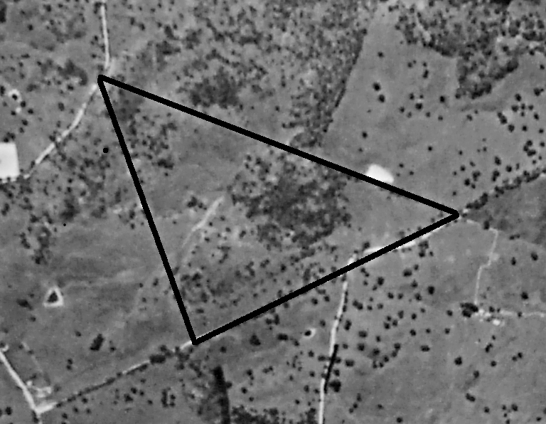
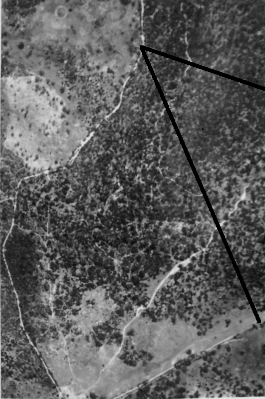
Figure Four. Aerial photos of the farm area taken in (a) 1949 and (b) 1966. The farm boundaries are delineated by the lines. Note the difference in vegetation cover.
 (b)
(b)
 (a)
(a)